#Geopackage

AtanasAtanasE
2025-05-28

As a recent convert to the Church of , I wonder what would be the downside- if any- to moving all my data to geopackage. As opposed to postgis or file geodatabase. I use QGIS and ArcGIS Pro in parallel, often concurrently. Postgis is overkill for my needs, fgdb is tricky to use with QGIS.

Serious question.
Atilio FRANCOISatiliofrancois
2025-04-25

👋 Olá, pessoal!

Sou o autor do blog SIGterritoires.fr, onde compartilho tutoriais sobre QGIS, GeoServer, dados geoespaciais e cartas náuticas eletrônicas (ENC).
O blog é multilíngue, e muitos artigos estão disponíveis também em português 🇧🇷🇵🇹.

🌍 Meu objetivo é facilitar o uso de ferramentas livres para profissionais e entusiastas da geoinformação.
📘 Em breve: uma série sobre cartografia náutica no QGIS com GeoPackage!

Sejam bem-vindos!

Atilio FRANCOIS(h)sigterritoires@mastodon.uy
2025-04-25

¡Hola a todos!

Soy el autor del blog SIGterritoires.fr, un espacio dedicado a los datos geoespaciales, QGIS y las cartas náuticas electrónicas (ENC).
Comparto tutoriales técnicos, herramientas libres y soluciones prácticas para quienes trabajan con información geográfica.

También publico artículos en español, disponibles desde el menú superior del blog.
Próximamente: una serie sobre cartografía marina en QGIS y GeoPackage.

¡Bienvenidos a bordo!
#presentación #introducción #primertoot #SIG #QGIS #Geodatos #Cartografía #ENC #GeoPackage

Anita Graser 🇪🇺🇺🇦🇬🇪underdarkGIS@fosstodon.org
2025-03-16

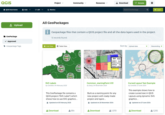
Did you know that you can package a complete #QGIS :qgis: project (incl. all your layers and data) in a single #Geopackage file, e.g. to move it to another system?

Practical examples, on the new hub:
hub.qgis.org/geopackages/?sort

#gischat #gis #mapping #cartography

Dr John A Stevensonvolcan01010@fosstodon.org
2025-03-15

@robintw GeoPackages!

+ They can hold vector and raster data.
+ They are fully functioning SQLite databases.
+ They can include style information.
+ They can be emailed / SCP'd around the world.
+ You can synchronise and combine data from multiple users with @merginmaps.
+ It's an OGC standard so they work with ESRI tooling as well.

As that last point suggests, geopackages aren't exclusive to QGIS, but QGIS gives the tools to make the most of them.

#sqlite #geopackage #qgis

2025-02-12

@rspfau In #QGIS try to run the fix tool, create a spatial index and save the layer as a #geopackage Then try again to filter You dataset.

Jeremia Kimelmanjeremiak@journa.host
2025-01-26

I get some of the #gis tradeoffs that might lead someone to publish data as a #geopackage instead of #geojson but there are so many tools and workflows for the latter (json) that I'm having a hard time finding in the former (package).

Anybody have a intro to *analyzing* the geopackage format type blog post (or series) for folks just getting started?

Here's my more concrete query I'm struggling through: How can I find which feature in the dataset contains a particular Point location?

💧🌏 Greg CocksGregCocks@techhub.social
2024-12-17

Introduction to GIS with QGIS [tutorial]
--
libguides.brown.edu/gis_data_t <-- shared Brown University tutorial/self-lead class
--
"This tutorial was created for a day-long introductory GIS workshop and for self-directed learners, using the free and open source QGIS desktop software. Download QGIS and install it for Windows, Mac, or Linux. It's recommended that you install the same version of QGIS that's being used in the tutorial, which is written for the stable long term release…”
#GIS #spatial #mapping #QGIS #opensource #opendata #tutorial #desktop #geopackage #selflearning #selftaught #onlinelearning #education #learning #elearning #onlineclasses #distancelearning #onlinecourses #onlineeducation #online #school #virtuallearning #learn #usecase #free

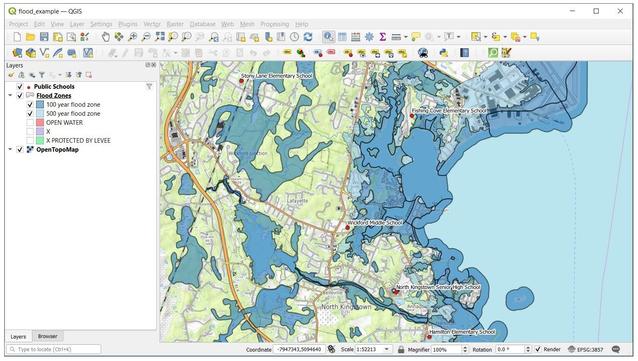
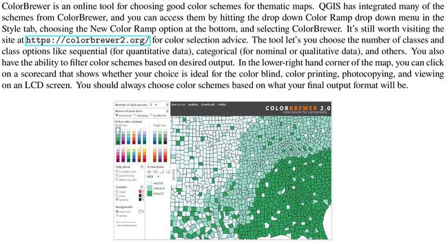
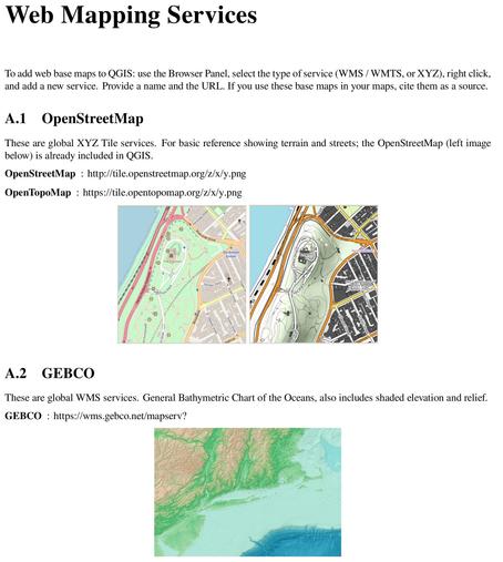
screen shot - QGIS - flood zonesscreen shot - QGIS - symbology - ColorBrewersplash screen - QGIS 3.34 LTRtutorial page - web mapping services (WMS) in QGIS
Václav Štěpánvaclavstepan@f.cz
2024-11-29

Would you please have any hint on how to set aliases to column names in GeoPackage layer using Python? (No, not using ArcGIS Python APIs.) #gischat #python #geopackage #geopandas

Iván Sánchez OrtegaIvanSanchez
2024-06-13

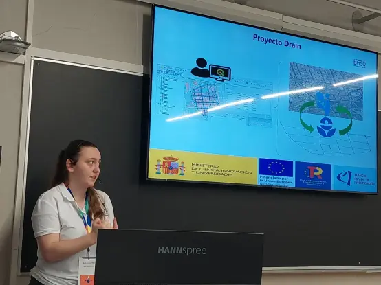
Ahora en María Guzmán habla de porque necesitaba hacer cosas de drenaje de agua.

María delante de una pantalla con una presentación

Converting all shapefiles on my hard drive to #geopackage's. I had no idea it would take so much work to collect, filter and organize them all. :blobsweats:

Jakob Mikschjakobmiksch
2024-05-04

Built a webmap to generate random geodata with export to or

Besides (latitude/longitude) all projections are supported dynamically by location

Thanks to this works completely in the browser and does not require server processing 🤩

Demo: jakobmiksch.github.io/random-g
Repo: github.com/jakobMiksch/random-

Tuomas Väisänen 📼🧟‍♂️waeiski@vis.social
2024-02-29

Hey #spatial #R folks, is it possible to extract geometries from #ggplot as files? That is, the point, line, and polygon geometries in the graphs to #geopackage or #shapefile etc.

It is possible with #seaborn and #matplotlib, but that's Python not R. There's a nice and lightning fast #EdgeBundling technique in the newest ggplot, which is very promising for the #visualization of massive #mobility data.

There is also something in #HoloViews but I do not understand that library at all.

💧🌏 Greg CocksGregCocks@techhub.social
2024-02-29

Missed your 25th birthday @shapefiIe (July 1998); that is 175 years in technology years! 🙃 😜 🤔 😁
(and some are worried about Joe Biden!)
--
Nothing personal, but #shapefilesmustdie
gis-blog.com/geopackage-vs-sha
#GIS #spatial #mapping #shapefiles #geopackage #moderntechnology #technology #mappymeme

2024-01-26

@rony I often try queries out right in #QGIS as scratch layers. The query syntax is a useful mix of Python and SQL and it has great built-in help and I like that I can review the results as a table or as a map. I also learned now to "join" a spatial table with a CSV file.

I'm a big fan of #postgres too, but for the inherently visual nature of spatial data, I like QGIS as a query tool.

Since #GeoPackage files are just SQLite files, sometimes I use the `sqlite` CLI to query those!

Dr John A Stevensonvolcan01010@fosstodon.org
2024-01-02

Here are some interesting things that I learned about #sqlite WAL mode this morning while debugging a #GeoPackage issue:

+ #QGIS opens GeoPackages in WAL mode
+ WAL mode persists, so subsequent connections from any application will be in WAL mode
+ Calling `PRAGMA journal_mode=DELETE;` turns off WAL mode and cleans up `-wal` and `-shm` files
+ WAL mode does not work across network file systems (or, in my case, between #WSL and Windows)

The docs are worth reading:

sqlite.org/wal.html

Peter Hanecakphanecak
2023-11-30

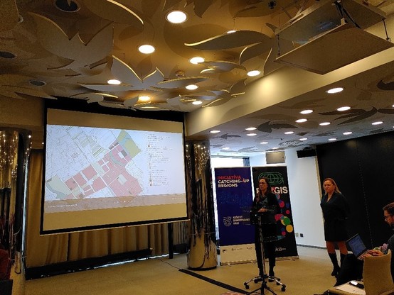
Tim TUKE (Martina Zeleňáková, Marcela Bindzárová Gergeľová, Stanislav Ondáš) na prezentuje vystupy, ktore vramci proof-of-concept (PoC) vypracovali pre Úrad územného plánovania a výstavby:

- preklopenie z 2D vykresov na 3D modely
- previazanie objektov v modeloch na metadata
- vyuzitie /#SQLite
- …

PoC ma sluzit aj ako detailna specifikacia pre obstaranie buduceho centralneho informacneho systemu pre uzemne planovanie.

Martina Zeleňáková a Marcela Bindzárová Gergeľová (TUKE) na EastGIS 2023 prezentuju vystupy, ktore vramci proof-of-concept (PoC) vypracovali pre Úrad územného plánovania a výstavby.
2023-11-06

Earlier I complained about some data not having descriptions of its fields. I figured I should lead by example and start adding comments to the fields in my tables in my GeoPackages. I thought it might be neat to make a little tool that turns your GeoPackage into some pretty HTML documentation.

Then I learned that #GeoPackage (#SQLite) doesn't support field comments!

2023-10-09

Celebrating some progress - retrieving DEMs, reprojecting, clipping, recalculating elevation from meters to feet, generating 2ft & 100ft contours, converting #GeoPackage layers to DXF files (all using #GDAL and #OGR CLIs), manually aligning in #AutoCAD and putting them in dedicated layers. #mappingmonday

2023-09-13

WIP: I'm generating Facade-X like #RDF triples from an OGC #GeoPackage 😁 big memory issues tho

Screenshot of RDF N-quads data, containing geographical information and a lot of unreadable Base-64 blobs, subject and predicate-URLs that contain "sparql.xyz/facade-x/data/".

Client Info

Server: https://mastodon.social
Version: 2025.04
Repository: https://github.com/cyevgeniy/lmst