
Lesson 10k1 - Using LiDARExplorer [USGS National Map training video]
--
https://youtu.be/36cfnwFWzj4?si=Ne5uk_jjbAjIaSGE <-- shared technical tutorial video
--
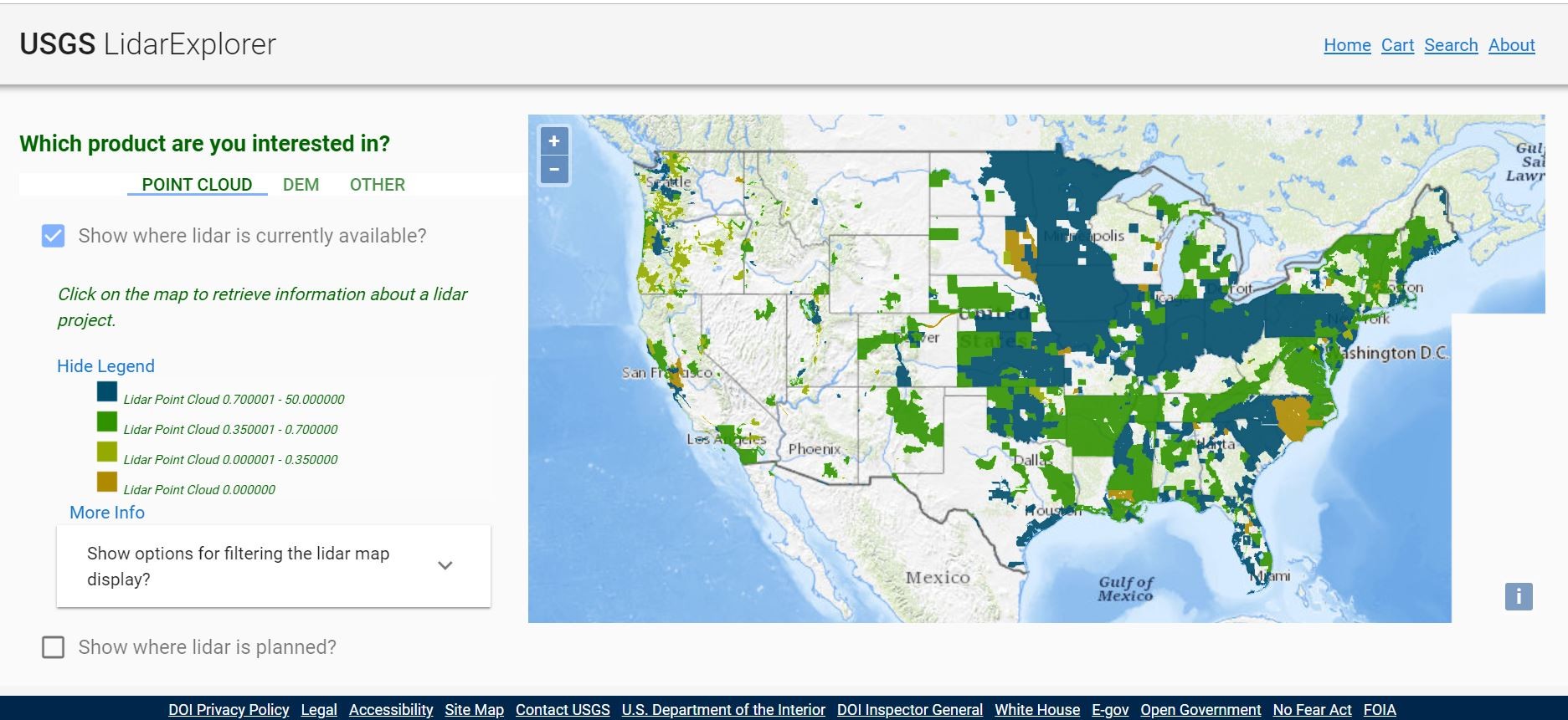
https://apps.nationalmap.gov/lidar-explorer/#/ <-- link to USGS app
--
https://www.usgs.gov/3d-elevation-program <-- USGS 3DEP home page
--
“This [USGS] National Map training video is an introduction to using the LidarExplorer application to easily access lidar data and derived products. In LidarExplorer, you can search for lidar projects, digital elevation models, and lidar point cloud files to meet your needs…”
#GIS #spatial #mapping #remotesensing #LiDAR #LidarExplorer #app #webmap #data #opendata #NationalMap #training #video #tutorial #selfhelp #onlinelearning #3dep #US #USA #DEM #elevation
@USGS
#LidarExplorer


Client Info
Server: https://mastodon.social
Version: 2025.07
Repository: https://github.com/cyevgeniy/lmst