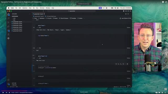
Geospatial Python 🐍 - Full Course for Beginners with GeoPandas 🐼
--
https://youtu.be/0mWgVVH_dos?si=KHenBnxdeStppvnH <-- shared video tutorial
--
https://moderngis.xyz/courses/geopandas-free-certification/ <-- shared course files
--
[sharing of this course should not – necessarily - be considered as an endorsement]
#GIS #spatial #mapping #tutorial #onlinelearning #free #training #python #geopandas #pandas #beginners #video #videotutorial #workflows #automation #spatialanalysis #spatialdata #DuckDB #leafmap #lonboard #certification
#Lonboard
I am probably just stupid but anyone got pointers how to make WebGPU on Ubuntu 22.4 use a dedicated Nvidia GPU? I want to see that butter smooth rendering #lonboard can do on my M1 MacBook, not the crappy one that I am seeing now.
Aimee from @developmentseed starting us off after lunch on Cloud computing and cloud-optimized data formats! See how you can access ICESat-2 directly on cloud services like CryoCloud, cloud-optimize an ATL08 HDF5 file into a cloud-native GeoParquet format, and plot it in Lonboard!
Tutorial at https://icesat-2-2024.hackweek.io/tutorials/cloud-computing/00-goals-and-outline.html
#CloudNativeGeospatial #GeoParquet #Lonboard #CryoCloud #NASA #UW #Hackweek
So the #overturemaps python library is a good starting point for extracting a bbox. Then you can visualise using #lonboard
Lonboard - Python Library For Fast, Interactive Geospatial Vector Data Visualization In Jupyter
--
https://developmentseed.org/lonboard/latest/ <-- shared resource
--
“Building on cutting-edge technologies like GeoArrow and GeoParquet in conjunction with GPU-based map rendering, Lonboard aims to enable visualizing large geospatial datasets interactively through a simple interface…”
#GIS #spatial #mapping #python #gpu #code #opensource #lonboard #redraw #vectordata #maprendering #bigdata #pythonlibrary #library #codelibrary #visualisation #Jupyter
County-to-county migration in the U.S.
Made in Python with #lonboard. #30DayMapChallenge
Reproduce it with this notebook: https://developmentseed.org/lonboard/v0.4.0/examples/migration/
Rivers of Asia, with width and color based on their centrality.
Made in Python with #lonboard. #30DayMapChallenge
Reproduce it with this notebook: https://github.com/developmentseed/lonboard/blob/main/examples/map_challenge/6-asia.ipynb
A year of vehicle collisions in NYC, with radius determined by number of pedestrians and cyclists injured, and colored by time of day.
Made in Python with #lonboard. #30DayMapChallenge
Reproduce it with this notebook: https://github.com/developmentseed/lonboard/blob/main/examples/map_challenge/1-points.ipynb


