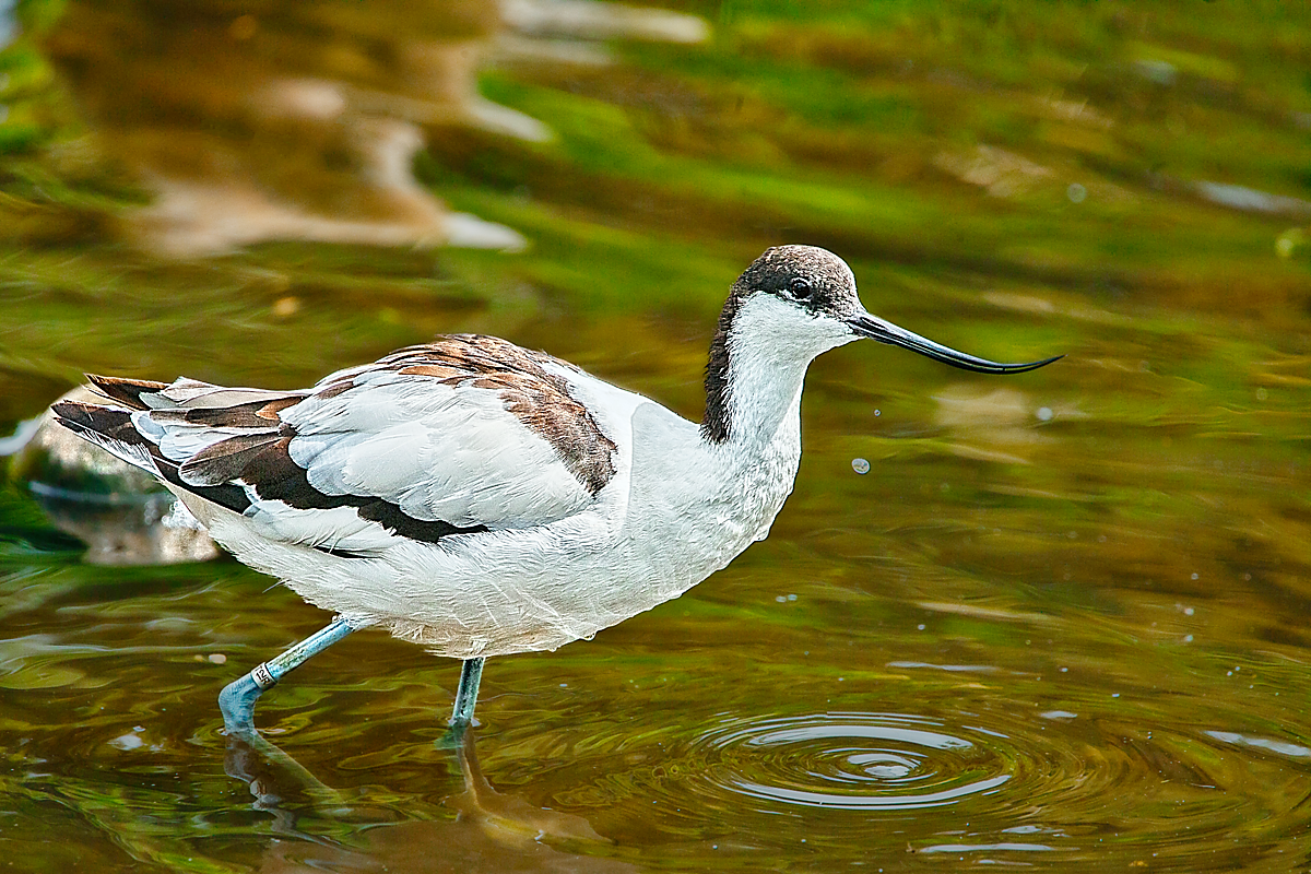
Pied Avocet (Recurvirostra avosetta) wading in shallow water. The bird has striking black and white plumage and a long, slender, upward-curving bill. Its pale blue-grey legs are partially submerged, and a leg ring is visible.
Shot at WWT Martin Mere near Burscough, UK.
#MyPhoto #MyWork #photo #photography #PiedAvocet #RecurvirostraAvosetta #avocet #wader #BlackAndWhiteBird #UpturnedBill #WetlandBird #LegRing #ShallowWater #AquaticHabitat #bird #CloseUp #nature #wildlife #outdoors #summer #BirdPhotography #BirdsOfMastodon #BirdsOfPixelfed #MastoBirds #PixelBirds #NaturePhotography #WildlifePhotography #WWT #MartinMere #WWTMartinMere #OC
#ShallowWater
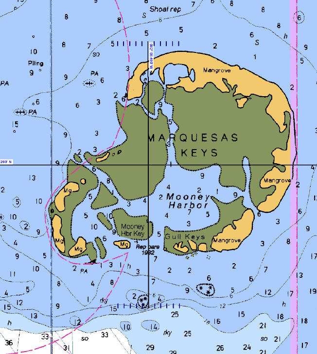
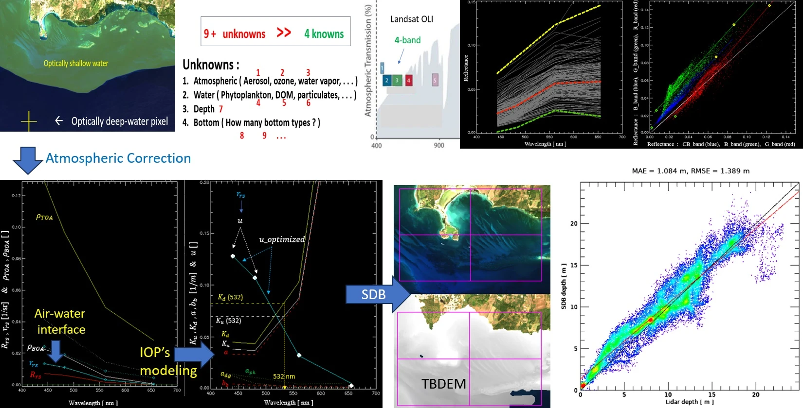
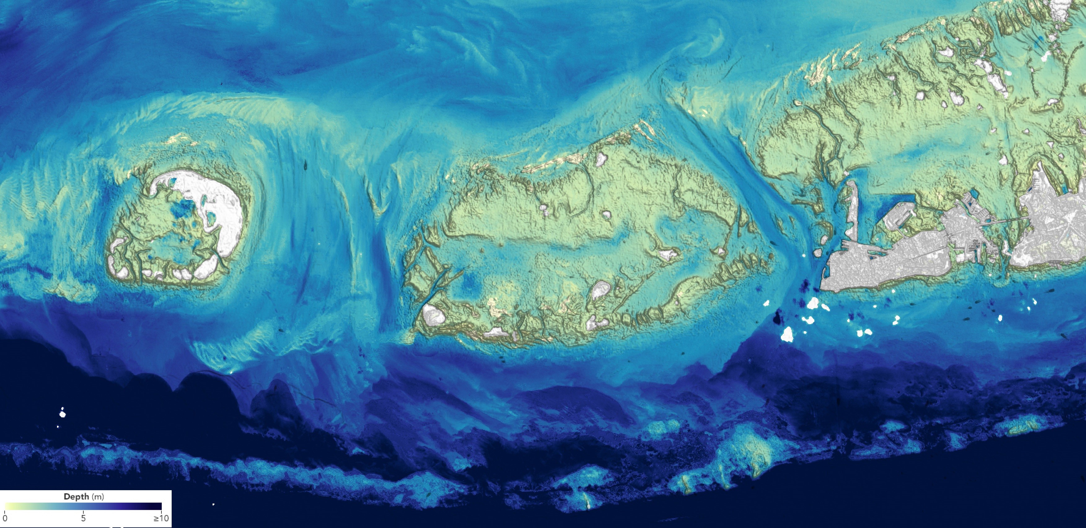
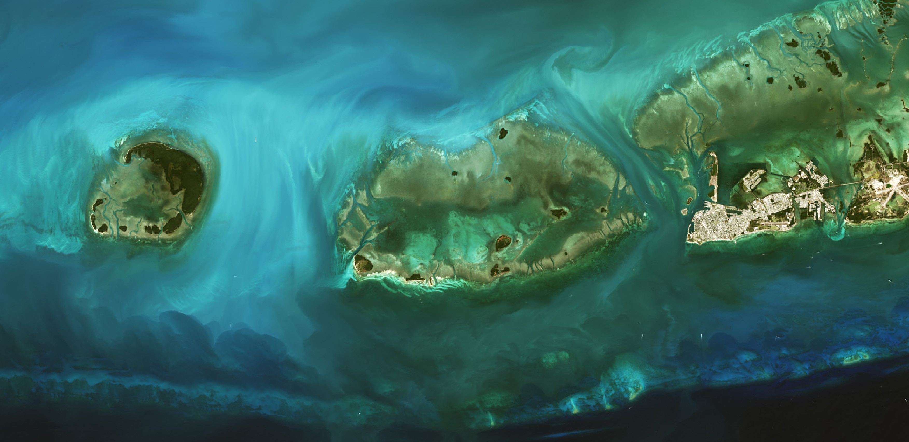
Landsat Plumbs The (Shallow) Depths [Near Shore TopoBathy]
--
https://earthobservatory.nasa.gov/images/153529/landsat-plumbs-the-shallow-depths <-- shared NASA images
--
https://doi.org/10.3390/rs16050843 <-- shared paper
--
#GIS #spatial #mapping #landsat #coast #coastal #topobathy #remotesensing #bathymetry #depth #shallowwater #hydrography #hydrospatial #modeling #OLI #OperationalLandImager #landsat8 #landsat9 #algorithm #spatialanalysis #physics
@USGS
#PhotoMonday #FotoMontag #PhotographyOnMastodon #foozma73 #danger #photography #fotografia #fotografie #longtripoffashortpier #noswimming #shallowwater #justdont
#ImReading:
“#ShallowWater models for volcanic #GranularFlows: A review of strengths and weaknesses of #TITAN2D and #FLO2D numerical codes”, Neglia et al. (2021), J. Volcanol. Geoth. Res., 410, 0377.
https://www.sciencedirect.com/science/article/pii/S0377027320305825
#GranularMatter #GeologicalFlows #Physics #Volcanology #Science.
Client Info
Server: https://mastodon.social
Version: 2025.04
Repository: https://github.com/cyevgeniy/lmst