Felt compelled to make a 2025 update to this one, about why high resolution mapping of cliff faces is mostly *not* a reliable/suitable tool for rock climber / rescuer safety applications. TL:DR get mentors, learn, get outside, touch stone.
#dronemapping
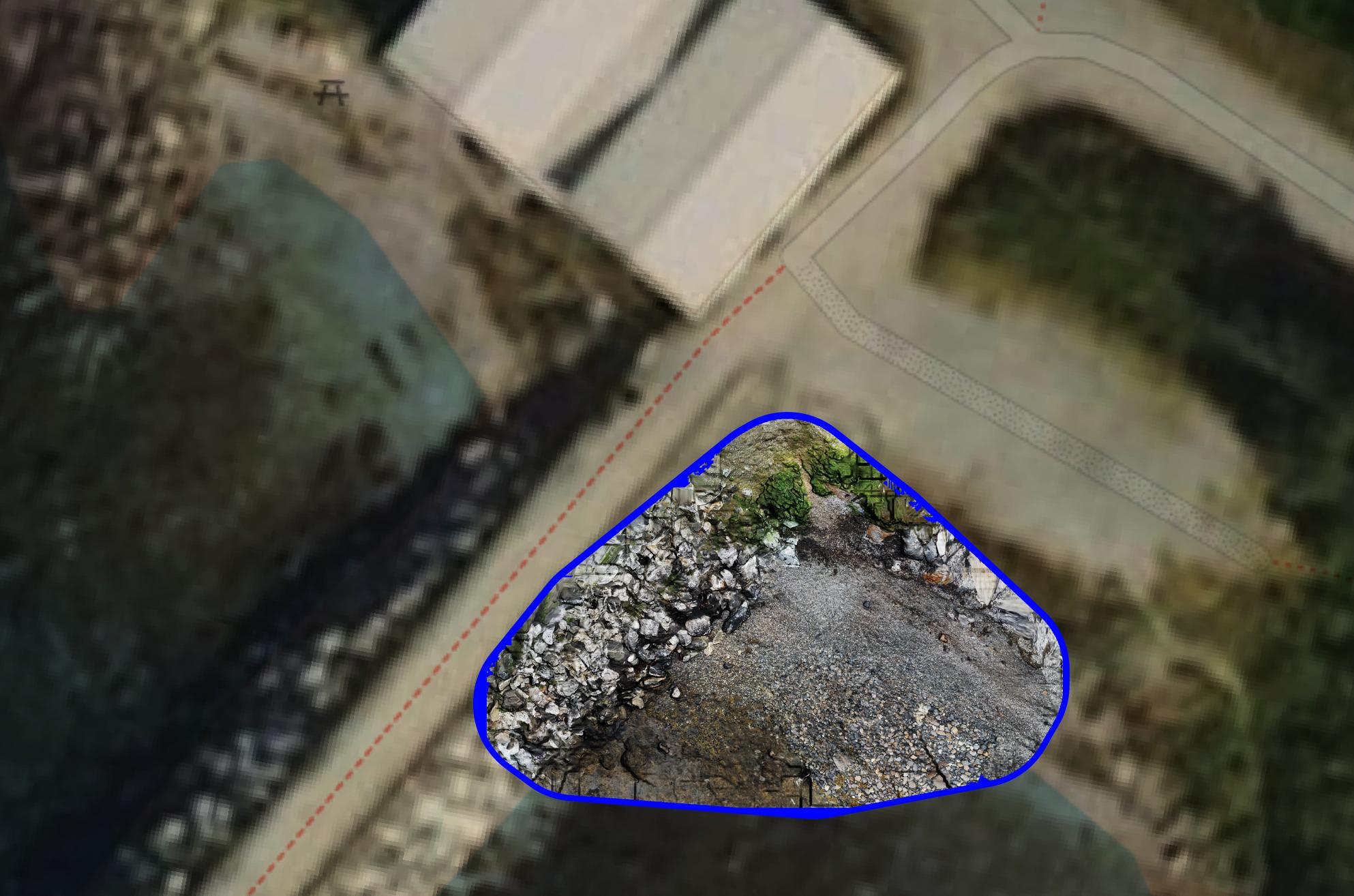
A little while ago I posted about running a small drone mapping session where we could not actually fly drones - and made a map anyway:
https://mapstodon.space/@adamsteer/114531662058593146
...here's me demonstrating how to be the "air" underneath the drone :). And yes, I got teams to walk in pairs, one acting as safety/support/swap over to avoid fatigue while the other kept the drone airborne 🙌
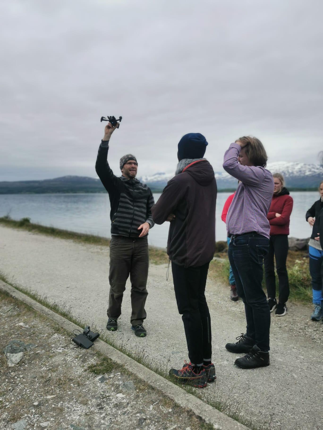
A couple of years ago I was invited to a UiT (University of the Arctic in Tromsø) outreach day about coastal ecology. I did a practical session about drones and made this map!
How did I get unlicensed pilots to make a drone map in a no fly zone? They walked a flight pattern in teams, holding the drone up high - while a "pilot" directed them and pressed the shutter button! It was processed in time to show results at the end of the day :)
Today we are really excited to announce support for multi-band Raster Tiles and Cloud Optimised Geotiffs (COGs) in Geobase! (only in private beta ATM hit us up if you want early access)
more at 👉 https://geobase.app
#gischat #cloudnativegeospatial #satelliteimagery #dronemapping
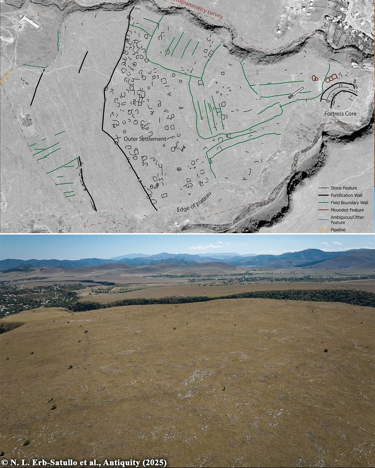
Drone mapping unlocks secrets of 3,000-year-old ‘mega fortress’ in the South Caucasus
A recent study using drone mapping has revealed that Dmanisis Gora, a 3,000-year-old mountainside fortress in the Caucasus Mountains, is far bigger than previously thought. The discoveries also prompted a reassessment of settlement dynamics during the Late Bronze and Early Iron Ages.
More information: https://archaeologymag.com/2025/01/drone-mapping-unlocks-secrets-of-mega-fortress/
Follow @archaeology
#archaeology #DroneMapping #dmanisisgora #bronzeage #ironage
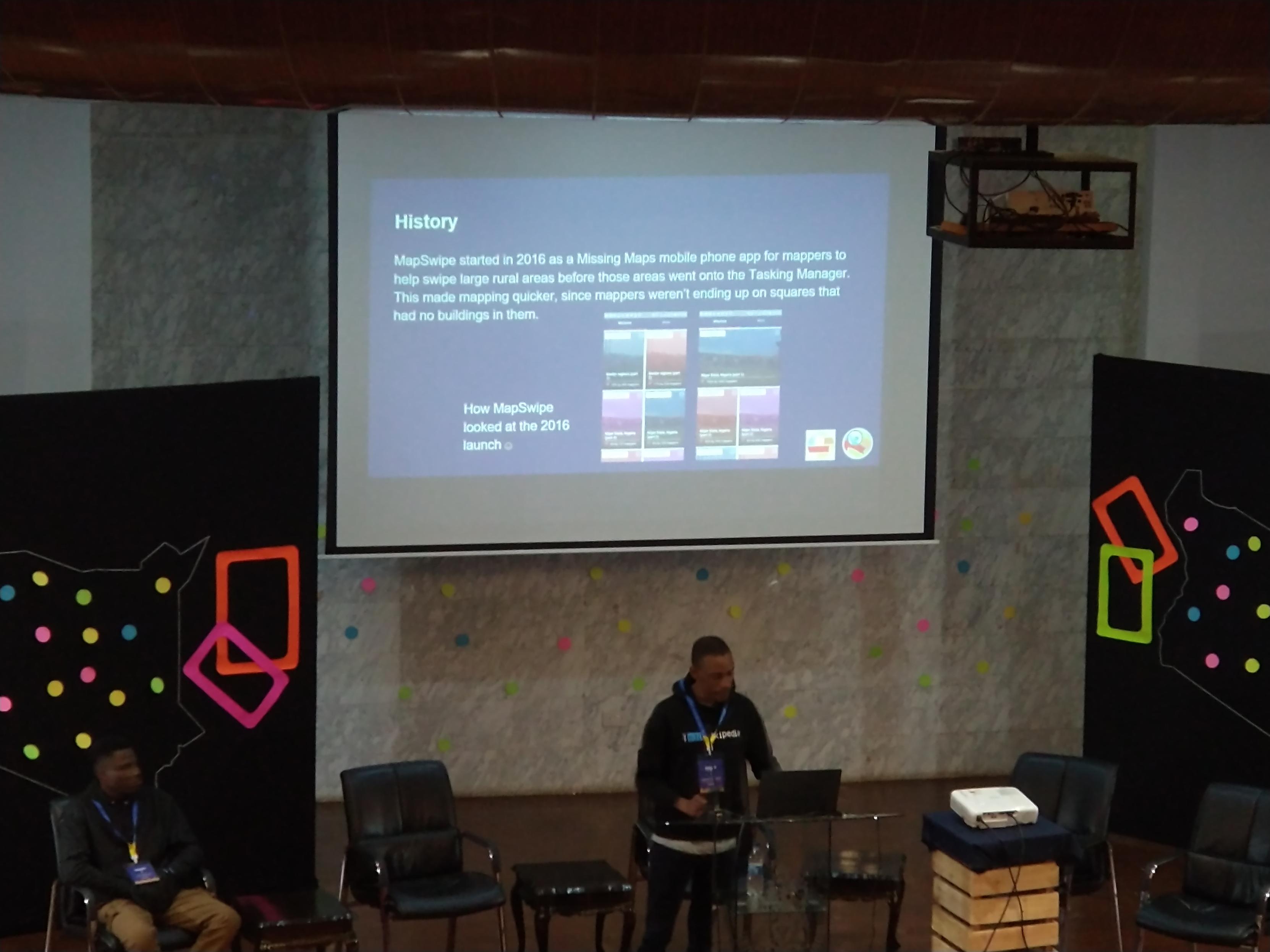
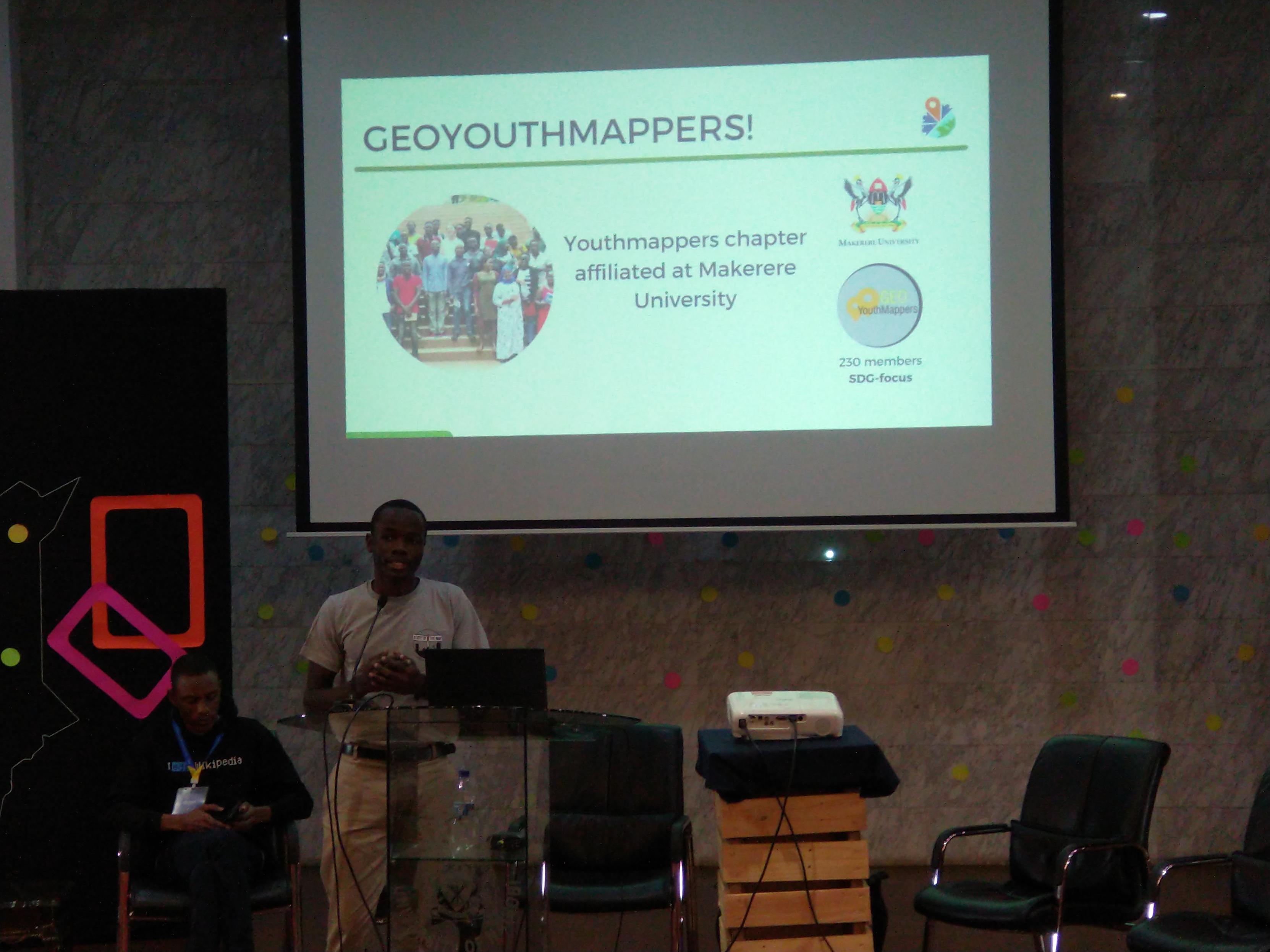
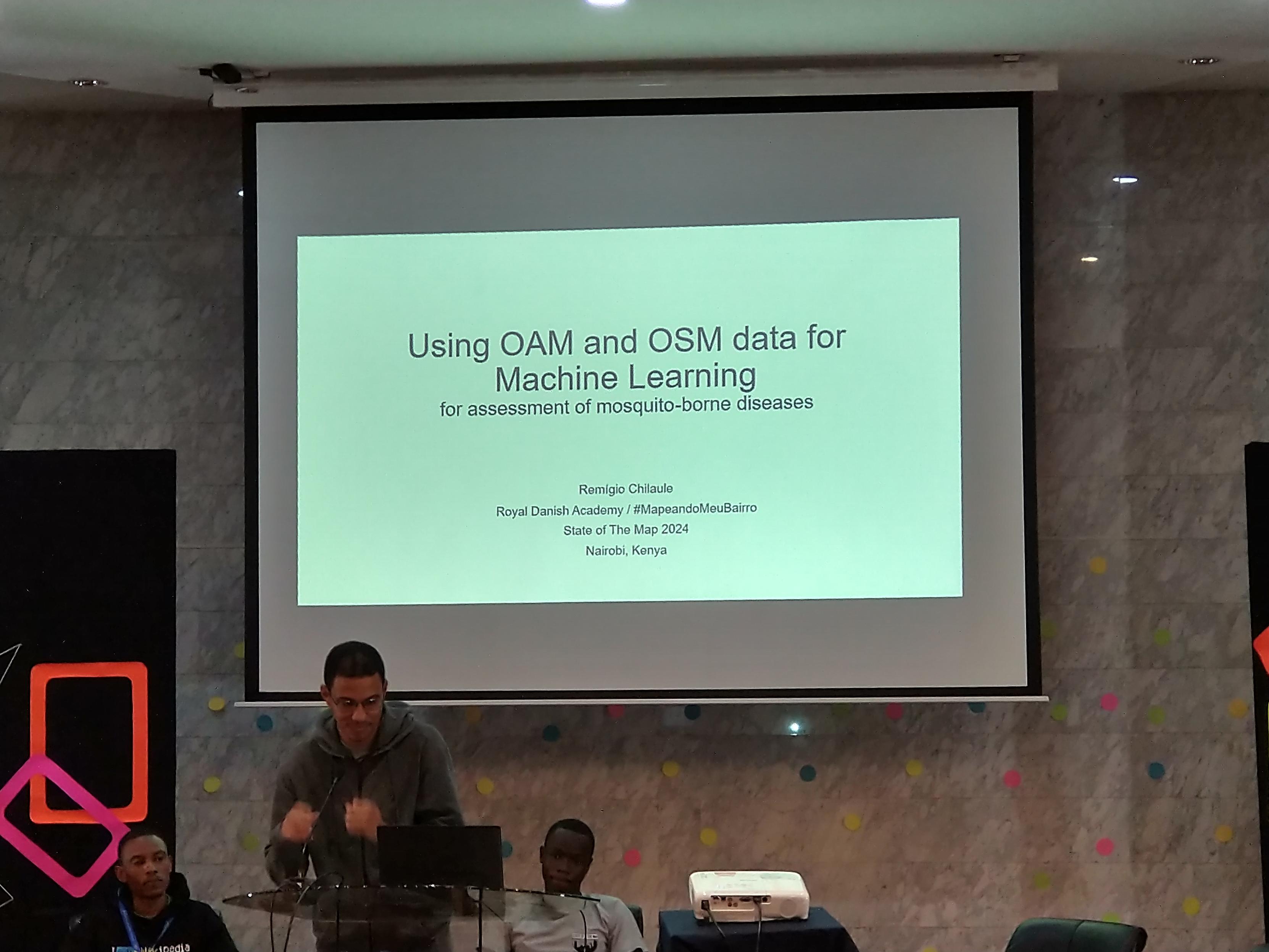
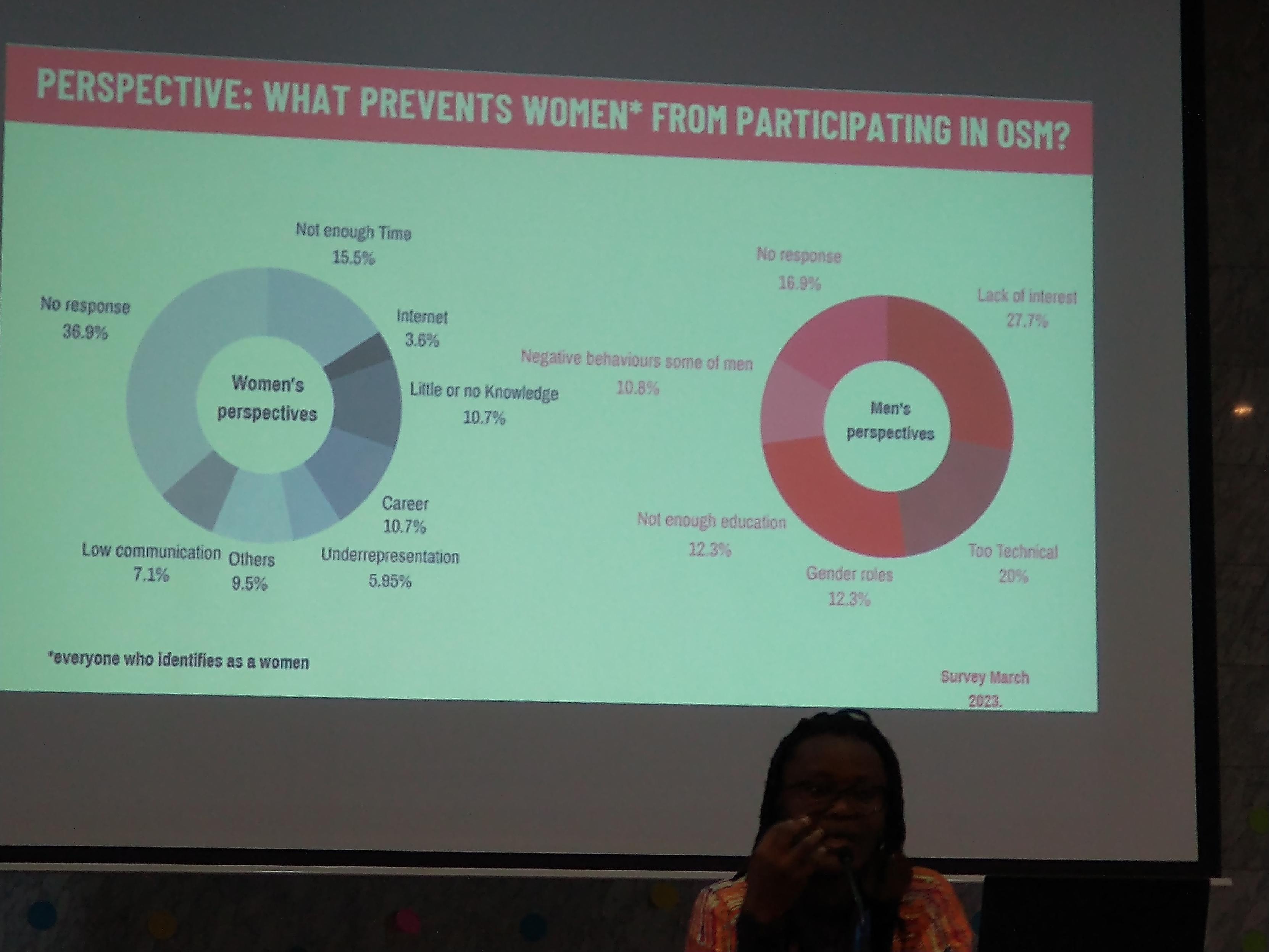
#sotm2024 #lightningtalks III showcasing #mapswipe for web launch, @youthmappers chapter in Makerere University #uganda, #machinelearning project involving #dronemapping in #mozambique and #surveyresults regarding what prevents women participating more in #openstreetmap comparing men and women answers (that differ!)
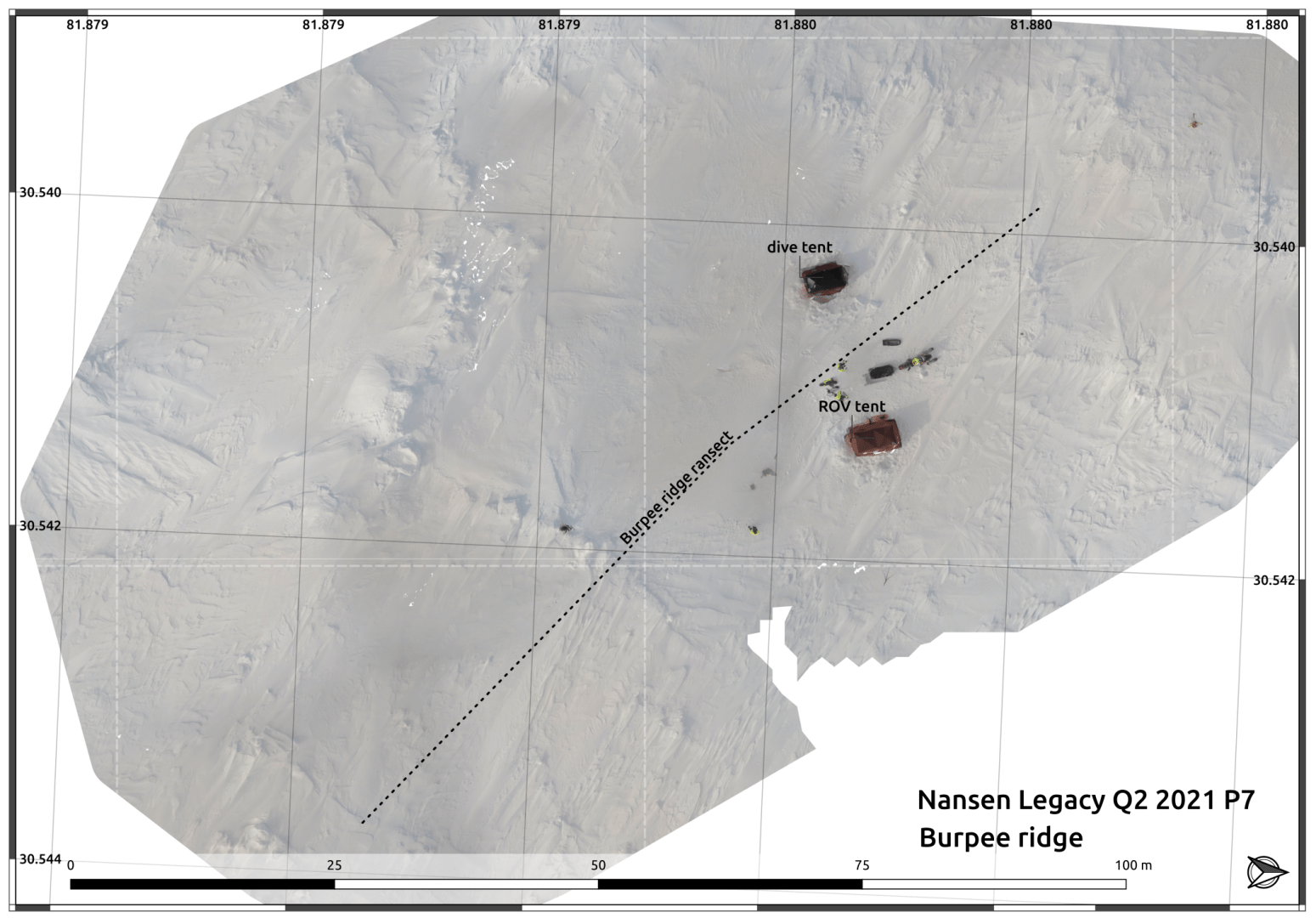
This is one of the worst #DroneMaps I've ever made, and is also incredibly valuable because it is data that will never be captured again, plus it really helps get another dataset - the electromagnetic induction ridge survey line - into context.
It was about -12C, with 12m/s winds, 82 degrees north (in this map, north is to the right). I launched the drone with a snow shovel as a windshield against blowing /saltating snow at ground level, and at the first launch the aircraft promptly blew away and crashed in the snow.
On recovery the drone was undamaged, so we made sure it was on 'full power mode' and took off. Control was nuts - trying to keep to sane speeds for photography and flying hard into the wind then being blown back. Turning was a mission. I was done after not too long, just mentally cooked from flying.
The heroes in this story are the tools which let us undertake such audacious ideas and know that we'll get something useable. Even in the worst conditions, we had a drone that could handle it (#ANAFIUSA), software which made sense of scrappy data (#OpenDroneMap) and tools to visualise it effectively alongside other data - which makes it all worthwhile (#QGIS).
There's another story about how we map on drifting ice, that's in the works.
I was working on / funded by the Norwegian Nansen Legacy Project when this map was made, in mid-2021. My co-conspirators on this voyage were Polona Itkin and Tristan Petit. And this same drone lived to fly many more successful missions!
#Arctic #SeaIce #DroneMapping #ResearchStories #FOSS4G
Orthophoto van de speelweide. Speel ook met de opacity slider om met de normale situatie te vergelijken.
https://webodm.wolfschouten.nl/public/task/7fcc6c38-404a-474e-be0c-58501c1a12c4/map/
Hopton Castle in Shropshire.
An Orthomoasic and DSM from over 90 aerial images from an original Mavic Pro drone. Stitched together using OpenDroneMap
#Drone #DroneMapping #aerialPhotography #AerialImagery #Shropshire #Castle #History #CivilWar #Ruin #Mapping #OpenDroneMap #WebODM
Keen to follow more folk who are involved with #DroneMapping #UAVMapping #Orthomosaics #UAVs
A Near Infra Red of part of the Medieval deserted village in Heath, Shropshire.
The 'black' building near the centre of the bottom of the image is the old chapel, the field above it shows the ditches from possibly an old manor house and moat.
This was from a licensed dig in 2021 the cars behind the church belonging to the volunteers.
#History #Medieval #DesertedVillage #Archeology #Shropshire #England #Drone #DroneImaging #AerialPhoto #Aerial #DroneMapping #NIR #History
A bit of video from #dronemapping in #webODM
Having some fun with #dronemapping in #webODM with my DJI Mini 3 Pro drone. Fun little program
Good To Attend ¾ Day At GeoWeek
--
https://www.geo-week.com/ <-- conference page
--
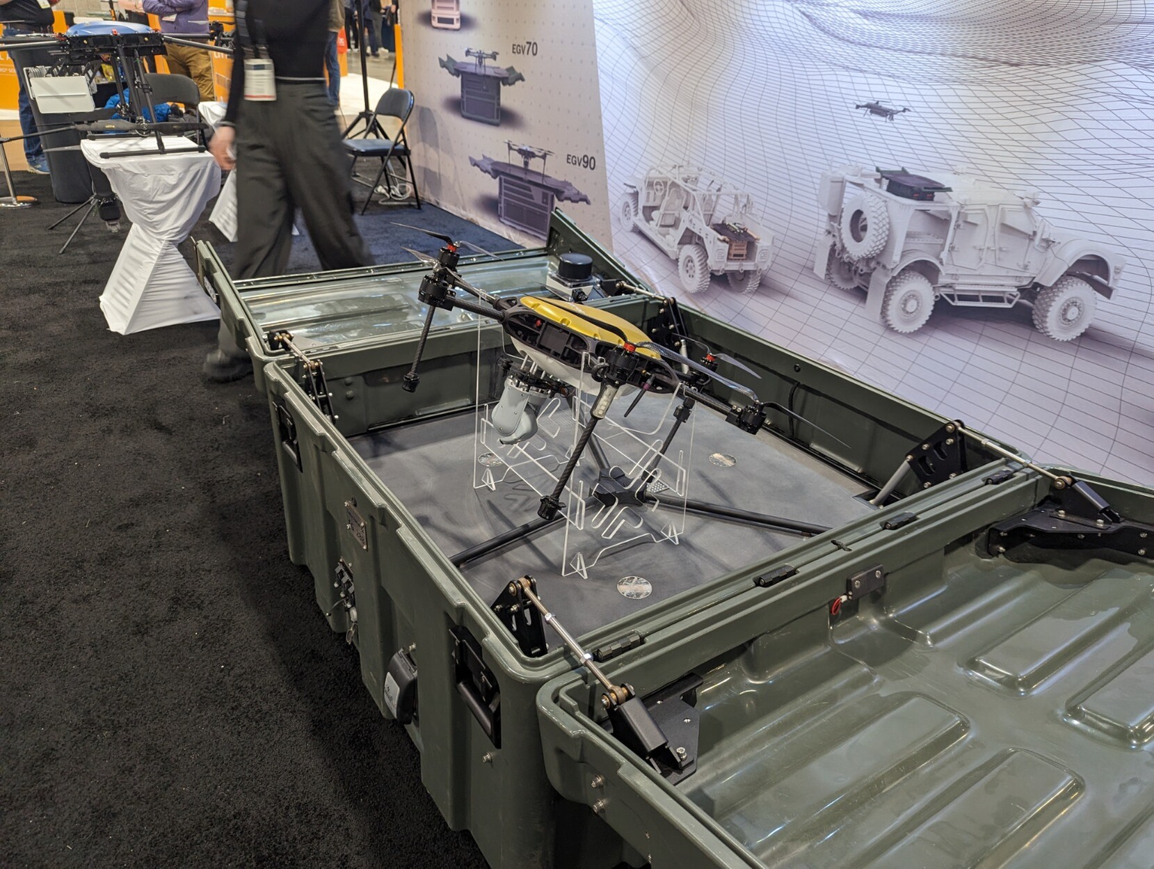
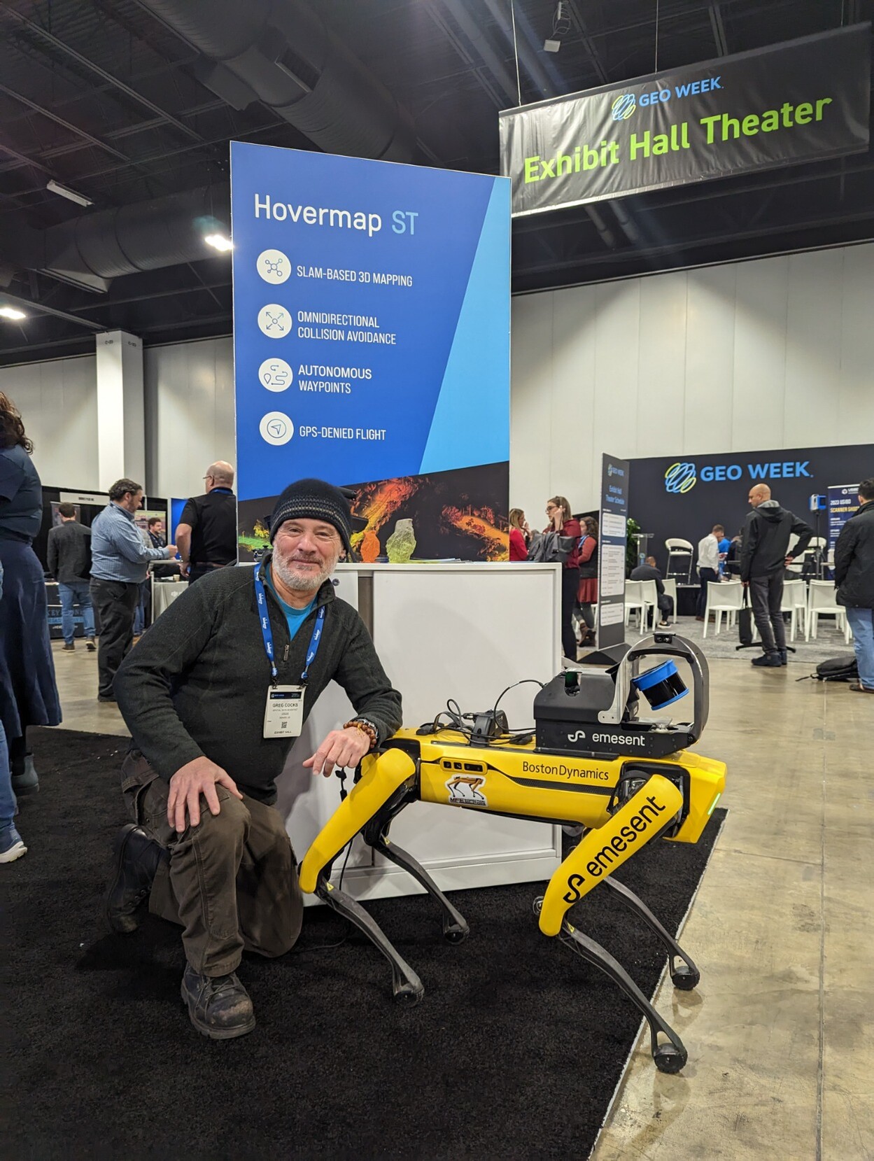
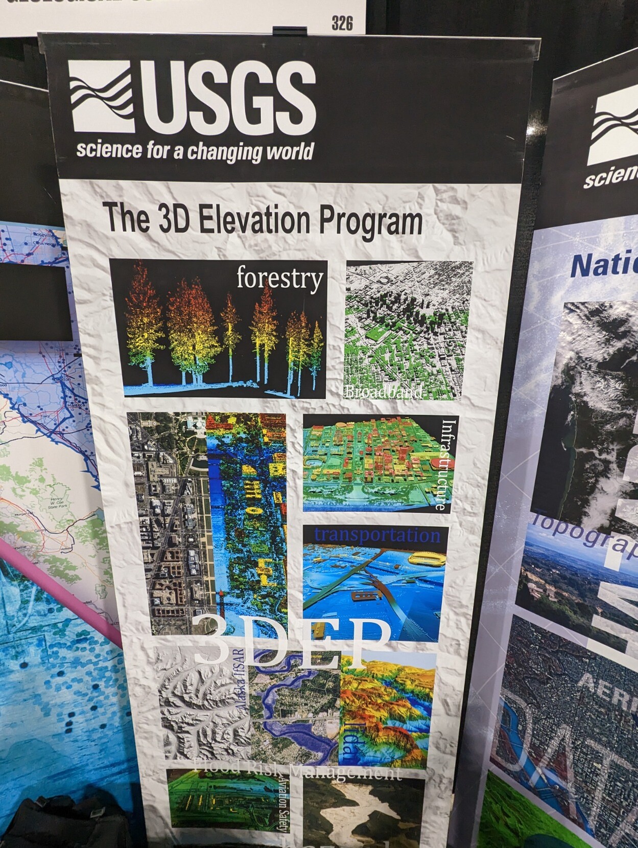
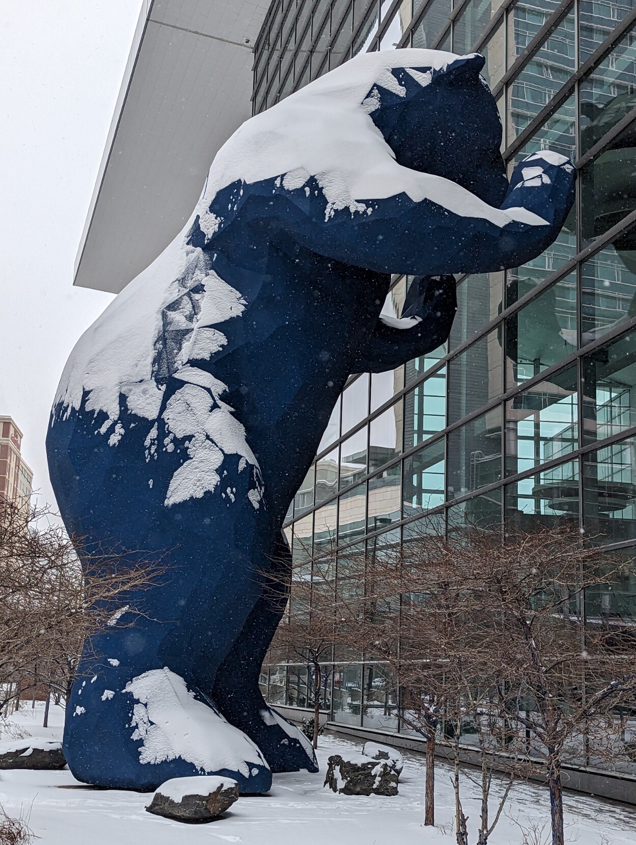
Excellent to attend GeoWeek for a day, interact in person with so many, see some amazing technology – and got to drive a Boston Dynamics ‘robot dog’!!
#GIS #spatial #mapping #Denver #Colorado #inperson #conference #snow #networking #3DEP #3DHP #opendata #geoweek #networking #technology #drones #dronemapping #LiDAR
#USGS #BostonDynamics
Seeing a number of examples of small drones being used for search and rescue efforts in Syria and Turkey right now. Guessing drone mapping efforts of the destroyed areas will be coming next (or, I hope so).
#drone #dronemapping #syria #turkey #earthquake #disaster #humanitarianaid #humanitarian #mapping #gis
For those who were interested in our aerial image of Nordy Bank HillFort we recently shared.
We also made a '3d Model', again using OpenDroneMap, and from that, produced a 'flyby video'
#drone #DroneMapping #Photogrammetry ##AerialMapping #3dModel #HillFort #Shropshire #UK #IronAge #OpenDroneMap
Nordy Bank is a univallate hillfort on the flanks of Brown Clee Hill, the highest hill in Shropshire.
Here's a composite of some 540+ drone photos, mostly from a P4Pro, but some from a Mavic Pro, all stitched together using OpenDroneMap of the hillfort and it's environs.
OpenDroneMap handled the 2 sets of images from 2 different drones effortlessly!
#HillFortWednesday #Shropshire #Drone #DroneMapping #uk #CleeHills #AerialMapping #DronePhotograhy #HillFort #OpenDroneMap
Nice to have our CAA Operational Authorisation renewed for another year. Looking forward to doing lots more aerial photos, videos and data collecting! (without breaking any more bones... 😲 )
#drone #dronemapping #dronephotography #dronevideo
A wider view of the abandoned quarry workings on Titterstone Clee Hill in Shropshire.
Stitched together from 80-odd drone photos using NodeMICMAC.
#drone #mapping #dronemapping #abandoned #shropshire #aerialphoto #dronephotography #dronephoto #england #uk
Probably time for an #introduction
You won't find me posting about what I do for a living here, because I cherish the idea of separating my work life from private life (strong #introvert energy). However, you will find me following a lot of #earthscience #geography #spatial #Antarctic #dronemapping #climatescience #geospatial #gis #rstats etc... with a good dose of other interests, I hope... not least of which involves #cycling in all its forms, including #zwift and even the #outdoors . It's a pleasure to be here on Mastodon and to see it flourishing with #academics and intelligent and civilised contributions... feels much nicer than #thatAccursedBirdSite already.
Client Info
Server: https://mastodon.social
Version: 2025.04
Repository: https://github.com/cyevgeniy/lmst