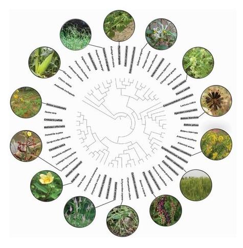
Chunqiang Wei et al. found that #Plant species of higher #IntrinsicGrowthAbility suffered greater negative #Soil effects, plant traits such as intrinsic growth ability, other than #PhylogeneticRelatedness, could be reliable #Predictors for plant responses to #SoilBiota, the soil biota on average had greater negative impacts on the #ExoticSpecies, particularly the #PerennialSpecies, than on the native species.
https://doi.org/10.1093/jpe/rtac044
#predictors
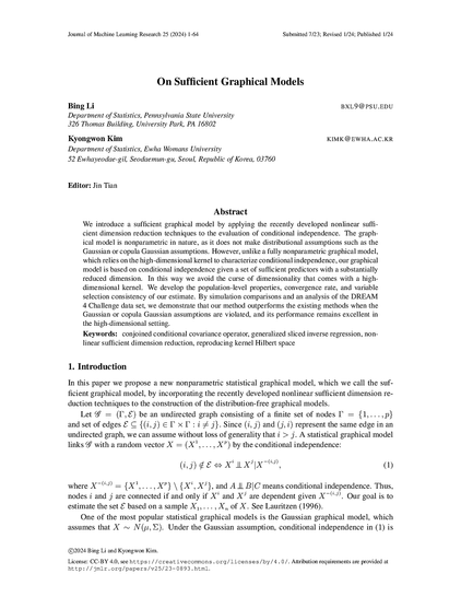
'On Sufficient Graphical Models', by Bing Li, Kyongwon Kim.
http://jmlr.org/papers/v25/23-0893.html
#predictors #dimensionality #dimensional
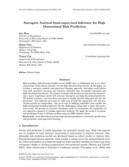
'Surrogate Assisted Semi-supervised Inference for High Dimensional Risk Prediction', by Jue Hou, Zijian Guo, Tianxi Cai.
http://jmlr.org/papers/v24/21-1075.html
#imputation #predictors #supervised
#Predictors of the #postCOVID condition following mild #SARS-CoV-2 infection, Nat Commun.: https://www.nature.com/articles/s41467-023-41541-x #research #science #covid19
Exact and Approximate Conformal Inference for Multi-task Learning
Using #ArtificialIntelligence to identify the top 50 independent #predictors of #subjective #WellBeing in a multinational sample of 37,991 older European & Israeli adults
"2 top-ranked SWB predictors were #social factors, which also had the highest overall group ranking, followed by #PhysicalHealth, #demographics, #FinancialStatus and #personality"
https://www.nature.com/articles/s41598-023-38337-w
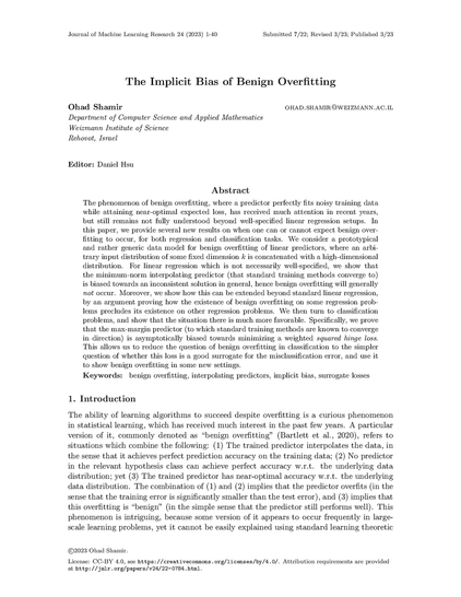
'The Implicit Bias of Benign Overfitting', by Ohad Shamir.
http://jmlr.org/papers/v24/22-0784.html
#overfitting #predictors #predictor
Using Satellite Data For Species Distribution Modeling With GRASS GIS And R [video tutorial]
--
https://youtu.be/MLhrhUfPzZk <-- shared tutorial video
--
“Species distribution models (SDM) have traditionally used climatic data as predictors of habitat suitability for the target species. In this hands-on studio, ‘we’ will explore the use of satellite data to derive relevant predictors. ‘We’ will perform satellite data processing, from download to analysis, using GRASS GIS software functionality. Then, ‘we’ll’ read our predictors within R and perform SDM, visualize and analyze results. Finally, ‘we’ will write the output distribution maps back into GRASS…”
#GIS #spatial #mapping #spatialanalysis #tutorial #onlinelearning #software #video #R #SDM #speciesdistributionmodel #GRASS #model #modeling #remotesensing #satellite #predictors #dataprocessing #download #opendata #openaccess #opensource #visualisation #map
[Articles] #Outcome #predictors and patient progress following delivery in #pregnant and #postpartum patients with severe #COVID19 #pneumonitis in #ICUs in #Israel (OB-COVICU): a nationwide cohort study https://www.thelancet.com/journals/lanres/article/PIIS2213-2600(22)00491-X/fulltext?rss=yes
#Incidence and #predictors of #breakthrough and severe breakthrough #infections of #SARS-CoV-2 after primary series #vaccination in adults: A population-based survey of 22,575 participants https://academic.oup.com/jid/advance-article/doi/10.1093/infdis/jiad020/7024140?rss=1
JPEG XL art explained https://youtu.be/FIG3I8Sp2qQ #jpegxl #predictors #jxlart #demoscene #inercia2022


