A point-to-point travel time database between U.S. census geographies for static isochrone mapping without server or compute cost #isochrone
#isochrone
I am wondering if the generation of an #isochrone is slower or faster compared to generating a grid-based travel-time matrix with #R5R or #R5py.
Both would get me the result I want in slightly different ways. I need to calculate the travel times to all somewhat major border crossing points in Europe. Calculating 30, 60 and 90 minute isochrones (private car) for Finland's 12 over-land points is taking over an hour in R5R, which is not optimal given that there are 1800+ points across Europe.
Apparently, the easiest way to calculate an #isochrone for travel times is to use #R5r in #Rstats. Trouble is, I've only had one beginner course of R, so I am a bit scared of my ability to troubleshoot anything.
Apparently there is nothing similarly fast in #Python to generate hundreds of isochrones across Europe.
Forgive the recent apparent obsession (I’d call it a fascination) with the #cycloid but I’ve just discovered something I’d not heard of before. It is also called a #TautochroneCurve or #Isochrone curve, which means that a particle starting from any location on the curve will get to the #MinimumPoint at precisely the same time as a particle starting at any other point.
#Dynamics #Kinematics #Mathematics #AppliedMathematics #Mechanics #ClassicalMecanics #WxMaxima #FreeSoftware #MyWork #CCBYSA
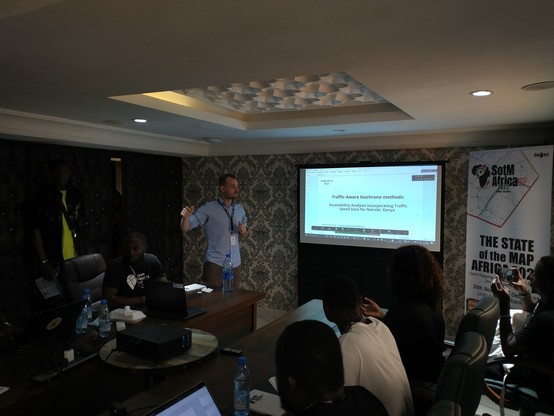
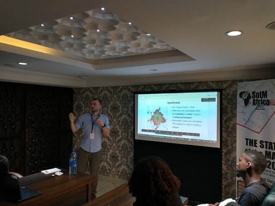
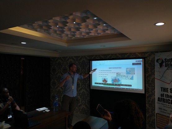
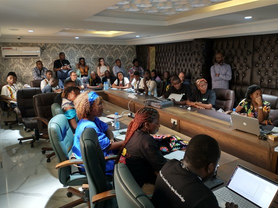
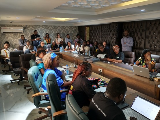
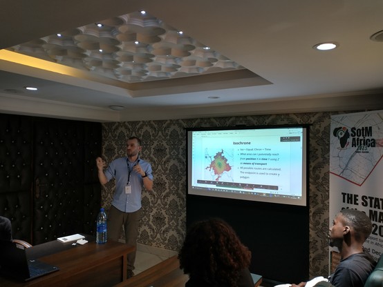
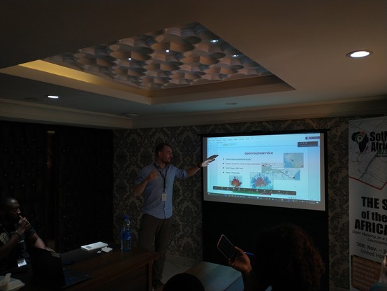
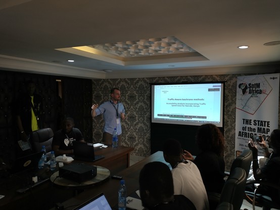
#sotmafrica2023 #day2 full audience for Marcel Reinmuth from @heigit showing the capabilities of #openrouteservice for the creation of #isochrone taking into account the reality of #traffic #OpenStreetMap #dt4a
#sotmafrica2023 #day2 salle comble pour Marcel Reinmuth de @heigit montrant les capacités de #openrouteservice pour la création de #isochrone tenant compte de la réalité du #traffic #OpenStreetMap #dt4a
RT jmviglino@twitter.com
#30DayMapChallenge day 2: lines
⏱️ travel time from Paris by roads 🚗
🗺️ #data @Geoportail
#isochrone calculated with @IGNFrance
Geoservice #API
online #map➡️ https://macarte.ign.fr/carte/oA7ssf/Distance-Paris
🐦🔗: https://twitter.com/jmviglino/status/1719972609809367513
How far a 3 hour train journey will take you in Ireland. From Dublin, Belfast, Galway and Cork #trains
#IrelandMap #100daysofmaps #day13 #isochrone source https://www.chronotrains.com/en/station/2964180-Galway/3
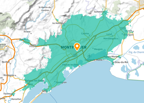
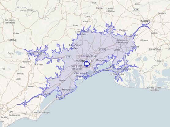
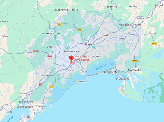
30 minutes isochrone, drawn from Montpellier City Hall.
(isochrone = geographical area drawn from the same travel distance from a source point)
From left to right:
- IGN / geoportail.gouv.fr
- OpenStreetMap / commutetimemap.com / geoapify.com
- Google Maps.
Not sure which one is better, pretty clear which one is worst.
Playing with #openStreetMaps on #Python but I'm struggling to get nodes from a single street using #osmnx, any tips?
I managed to get a "walk" network of São Paulo and tried this nice #isochrone tutorial: https://github.com/gboeing/osmnx-examples/blob/main/notebooks/13-isolines-isochrones.ipynb
But getting nodes from a single street eludes me...
(next challenge will be to get Z/elevation ... ooff)
cc @natera
Update: Some progress — I converted the network to a geodataframe and filtered it by the "name" column, it feels very awkward yet and I'm not sure what I'm doing.
Aha. https://commutetimemap.com seems pretty good for what I need as a general idea.
(Although for transit looks like it only uses subway/trolley, no bus?)
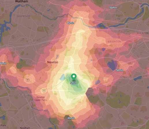
Dear #lazyWeb : does anyone know of a website/app like https://www.commutometer.com that would provide bike travel times? (commutometer is public-transit focused, which is great, but I'd like to also use bike as an option)
(yes, I can check point-to-point bike times with google maps, but a isochrone map would be handy for overview)
#transit #publicTransit #BostonMA #bike #BikeTooter #apartmentHunting #isochrone
Playing around with the new isochrone() function from #r5rstats
https://github.com/ipeaGIT/r5r/issues/123#issuecomment-1636576356 #isochrone
Now, what a nice isochrone map is this?
“Train or car? Difference in journey times by destination from Lyon, in hours”
Source: #LesEchos
I like the twist that the colors first mark whether it is faster to get there by train or by car.
#Mapping #mapstodon #isochrone #transport #trains #lyon #cartography #railway
Here's a demo of generating a isochrone chart for cycling from the cursor location in real time! The shape represents where cycling is easier/faster to go.
I spun up a server and downloaded the Valhalla source and OSM data for NSW. I made some edits to the Valhalla codebase to avoid roads with higher speed limits, and modified the frontend demo slightly. Only took two afternoons!
Looking forward to making further tweaks for Valhalla and seeing what interesting things I can make. I definitely think there's some bugs in my speed limit weightings.
#valhalla #openstreetmap #routing #isochrone #cycling #maps #osm #sydney #cpp #c++ #isochrone #nsw
You can look up yours here: https://www.commutometer.com/
#isochrone #map #SanFrancisco #BayArea #transit #PublicTransit #Muni #Bart
@gethin76 A few services use #openstreetmap data to do this.
Couple of examples:
Depending how serious you are, you could look into producing an #isochrone map yourself in #gis
