
Kunovice Airport - Uherské Hradiště, Czech Republic
https://en.wikipedia.org/wiki/Kunovice_Airport
https://www.openstreetmap.org/#map=13/49.029400/17.439699
#LKKU #UHE #UherskéHradiště #CzechRepublic #airport #aviation #avgeeks #GIS
Kunovice Airport - Uherské Hradiště, Czech Republic
https://en.wikipedia.org/wiki/Kunovice_Airport
https://www.openstreetmap.org/#map=13/49.029400/17.439699
#LKKU #UHE #UherskéHradiště #CzechRepublic #airport #aviation #avgeeks #GIS


🌟 𝐈𝐧𝐭𝐫𝐨𝐝𝐮𝐜𝐢𝐧𝐠 [Google Research’s] 𝐆𝐫𝐨𝐮𝐧𝐝𝐬𝐨𝐮𝐫𝐜𝐞 - 𝐀𝐧 𝐨𝐩𝐞𝐧 𝐬𝐨𝐮𝐫𝐜𝐞 𝐝𝐚𝐭𝐚𝐬𝐞𝐭 𝐨𝐟 𝐡𝐢𝐬𝐭𝐨𝐫𝐢𝐜 𝐟𝐥𝐨𝐨𝐝 𝐞𝐯𝐞𝐧𝐭𝐬 𝐟𝐫𝐨𝐦 𝐧𝐞𝐰𝐬 𝐚𝐫𝐭𝐢𝐜𝐥𝐞𝐬.
--
https://doi.org/10.31223/X5RR2K / https://eartharxiv.org/repository/view/12083/ <-- shared paper
--
https://zenodo.org/records/18647054 <-- shared link to associated dataset
--
https://sites.research.google/gr/floodforecasting/ <-- shared link to Google Research flood forecasting effort entry page
--
#GoogleResearch #Google #Gemini #AI #ClimateTech #MachineLearning #DataScience #FloodForecasting #Sustainability #TechForGood #aggregation #curated #newsarticles #news #media #article #harvesting #reports #reporting #global #world #historic #naturalhazards #naturaldisaster #floods #flooding #flashflood #water #hydrology #extremeweather #climatechange #GDACS #Groundsource #GIS #spatial #mapping #spatialanalysis #spatiotemporal #geographic #openaccess #openscience #opendata #floodevents #LLM #gemini #largelanguagemodel #deeplearning #AI #precision #metrics #historicresource #model #modeling #forecasting #opensource


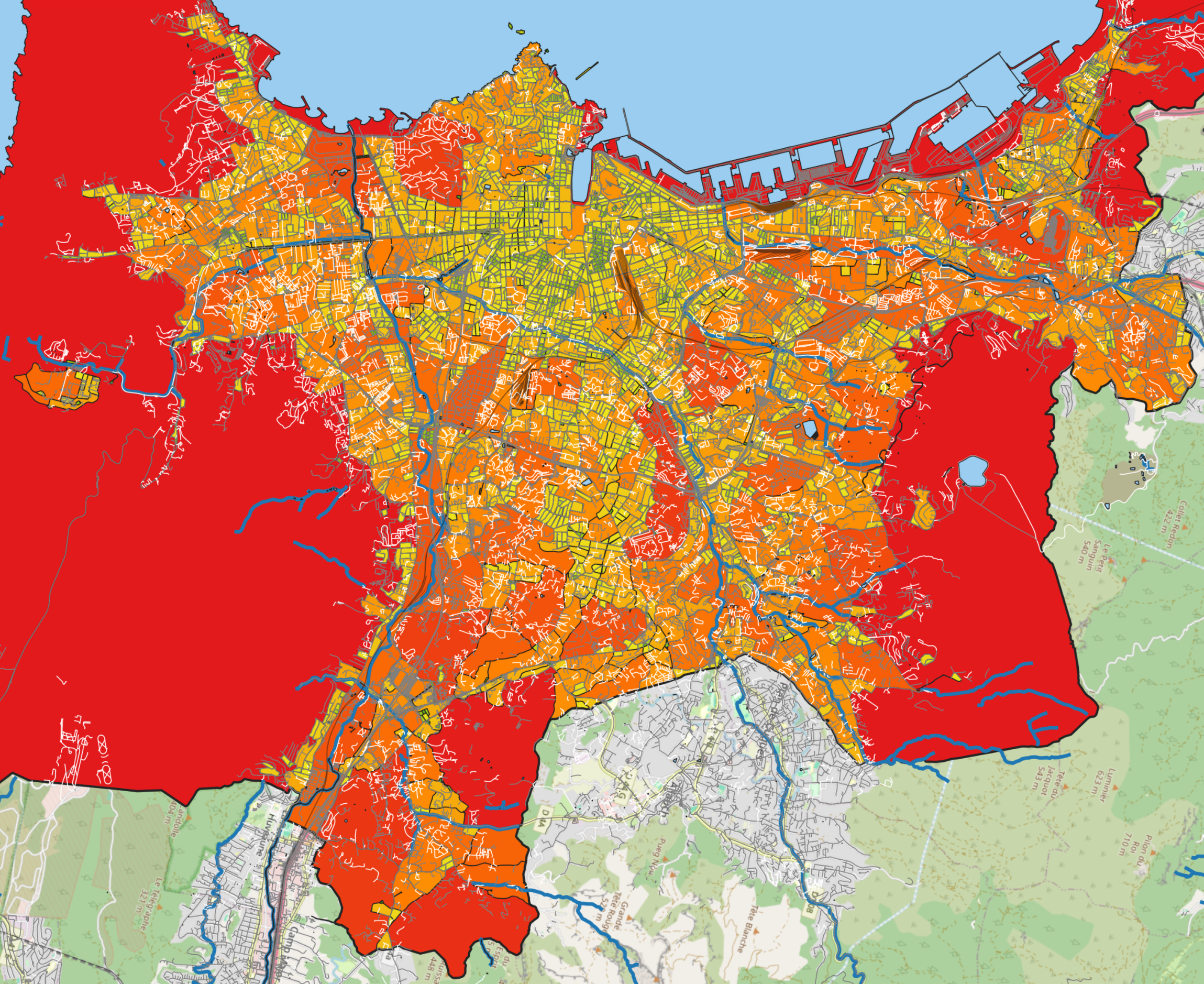
uMap avancé par Yohan Boniface — plongez dans la cartographie libre et découvrez astuces et démos pour créer des cartes interactives avec uMap. Idéal pour géomaticien·nes et curieux·ses ! #uMap #Cartographie #GIS #OpenStreetMap #OpenSource #SotMFR2016 #PeerTube #French
https://peertube.amicale.net/videos/watch/ef6ce1b5-6326-443f-900a-03909da9b6fd
Dabolim Airport - Vasco da Gama, India
https://en.wikipedia.org/wiki/Dabolim_Airport
https://www.openstreetmap.org/#map=13/15.380800/73.831398
#VAGO #GOI #VascodaGama #India #airport #aviation #avgeeks #GIS


New blog post: How big are the blocks in my city.
https://www.grulic.org.ar/~mdione/glob/posts/block-sizes-from-osm-data/
How many runways can you see for Gisborne airport (New Zealand) ? : The answer is on https://www.bigorre.org/aero/meteo/nzgs/en #gisborneairport #airport #gisborne #newzealand #nzgs #gis #aviation #avgeek vl
One more quick byproduct of my MDEM development: a bivariate map integrating volumetric structural data (SAR) with surface temperature (LST). This approach identifies the exceptionally intensive dissipative role of volumetric vegetation structure (trees and tall shrubs). By accounting for these high-performance cooling elements, we can better understand how they supplement traditional landscaping to enhance the city's overall thermal resilience.
#UrbanHeatIsland #EnvironmentalScience #DataScience #Calgary #YYC #Sustainability #RemoteSensing #GIS #MDEM #GreennessOfCalgary #CalgaryMDEM #RStats #UrbanPlanning #EarthObservation #OpenScience #SpatialDataScience #SpatialData

Hartsfield Jackson Atlanta International Airport - Atlanta, United States
https://en.wikipedia.org/wiki/Hartsfield–Jackson_Atlanta_International_Airport
https://www.openstreetmap.org/#map=13/33.636700/-84.428101
#KATL #ATL #Atlanta #UnitedStates #airport #aviation #avgeeks #GIS


"Exploring rural landscapes in Roman Thrace through the Tundzha valley": the second lecture of the year hosted by the Archaeological GIS Laboratory (http://aegis.athenarc.gr/) of the Athena Research Center https://www.facebook.com/events/761455083710672/ #archaeology #gis #bulgaria #tundzha
Charlotte Douglas International Airport - Charlotte, United States
https://en.wikipedia.org/wiki/Charlotte/Douglas_International_Airport
https://www.openstreetmap.org/#map=13/35.214001/-80.943100
#KCLT #CLT #Charlotte #UnitedStates #airport #aviation #avgeeks #GIS


NDVI: Realisierung mit QGIS, Standard & Grenzen / Implementation using QGIS, Standards & Limitations https://geoobserver.de/2026/03/16/ndvi-realisierung-mit-qgis-standard-grenzen/ #ndvi #qgis #switch2qgis #gistribe #gischat #fossgis #foss4g #OSGeo #spatial #geospatial #mapping #DataViz #opendata #gis #geo #geoObserver pls RT


Addis Ababa Bole International Airport - Addis Ababa, Ethiopia
https://en.wikipedia.org/wiki/Bole_International_Airport
https://www.openstreetmap.org/#map=13/8.977890/38.799301
#HAAB #ADD #AddisAbaba #Ethiopia #airport #aviation #avgeeks #GIS


Thanks to all the users who visited the #observability kiosk at @esri 2026 Developer & Technology Summit last week. It was great to discuss #ArcGISMonitor, answer questions, and get your feedback.
#ArcGISEnterprise #ArcGISAdmin #GIS #esri #arcgis #GISchat #geospatial @esridevevents @arcgisxprise

Comandante Espora Airport - Bahia Blanca, Argentina
https://en.wikipedia.org/wiki/Comandante_Espora_Airport
https://www.openstreetmap.org/#map=13/-38.725000/-62.169300
#SAZB #BHI #BahiaBlanca #Argentina #airport #aviation #avgeeks #GIS


Philadelphia International Airport - Philadelphia, United States
https://en.wikipedia.org/wiki/Philadelphia_International_Airport
https://www.openstreetmap.org/#map=13/39.871899/-75.241096
#KPHL #PHL #Philadelphia #UnitedStates #airport #aviation #avgeeks #GIS


Joint colloquium on spatial and statistical data: At the joint colloquium by the Federal Statistical Office and swisstopo, speakers explored the intersection of spatial and statistical data, from the buildings and addresses register GWR/RegBL to using the topographic landscape model TLM for...
https://spatialists.ch/posts/2026/03/15-joint-colloquium-on-spatial-and-statistical-data/ #GIS #GISchat #geospatial #SwissGIS