
An early cool morning at Angkor Wat - after the green season comes the chill one
Current reports of weather in Cambodia tells of cool nights with temperature around 20 degrees and sunny days around 30 degrees Centigrade.
This is not unusual at all. Every December and January there is a short, cold season, where temperatures in the north of the Kingdom of Wonder at night drops as low as 16 degrees C. And gets up to around 30 around lunch.
It gives the temple area a somewhat colder feel and colours than usual, too.
Like the 8th Wonder of the World, Angkor Wat.
Four seasons
Sometimes it feels like some areas have even more than two typical seasons. Meaning more than the hot and dry season, or the chill and green season. Like Siem Reap and the hills and mountains in northwest and northeast, you get some weeks between the hot and dry season and the cooler green season in May-June. The temperature drops, and some showers during the week prepares the green season in July.
And then the cooler season end of November to January.
It all come down to where you are staying. The variety in geography, natural conditions and climate means there are areas where there are only two seasons in Cambodia. Like in the South. Travel north to enjoy the variations of four.
https://drzinasia.wordpress.com/2023/12/30/freezing-in-cambodia/
#Angkor #ApsaraAuthority #bluesky #Cambodia #chillseason #climate #clothes #clothing #cold #dry #dryseason #Humid #krama #green #greenseason #scarf #spring #season #sun #travel #clothes #traveltheworld #traveltip #weather #weatherseason
#Humid


More Warm Weather on the Way for Winnipeg
A building upper ridge over the eastern Prairies will bring another week of early-Fall warmth to southern Manitoba.
Read the full forecast on our site: https://www.aweathermoment.com/2025/09/30/more-warm-weather-on-the-way-for-winnipeg/
#AboveNormalTemperatures #BenignWeather #Humid #mbstorm #Thunderstorms #Winnipeg


Yes, the rivulets of moisture running down my framed photos and TV screen could tell you this. Will trade coconuts for return of the trade winds please.

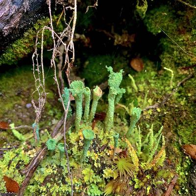
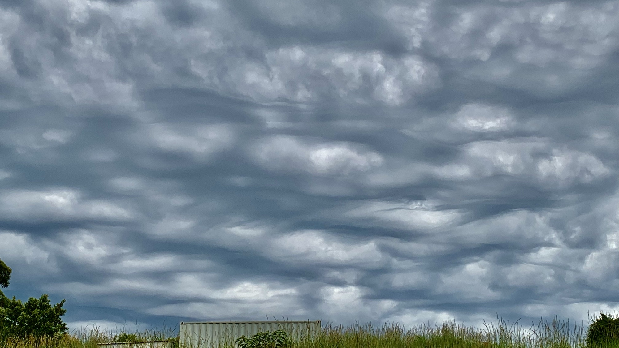
Another cool storm . it felt like the sky was going to fall . 2023 again #clouds #asperitus #storms #hot #humid #summers #photography #skies #landscape #australia
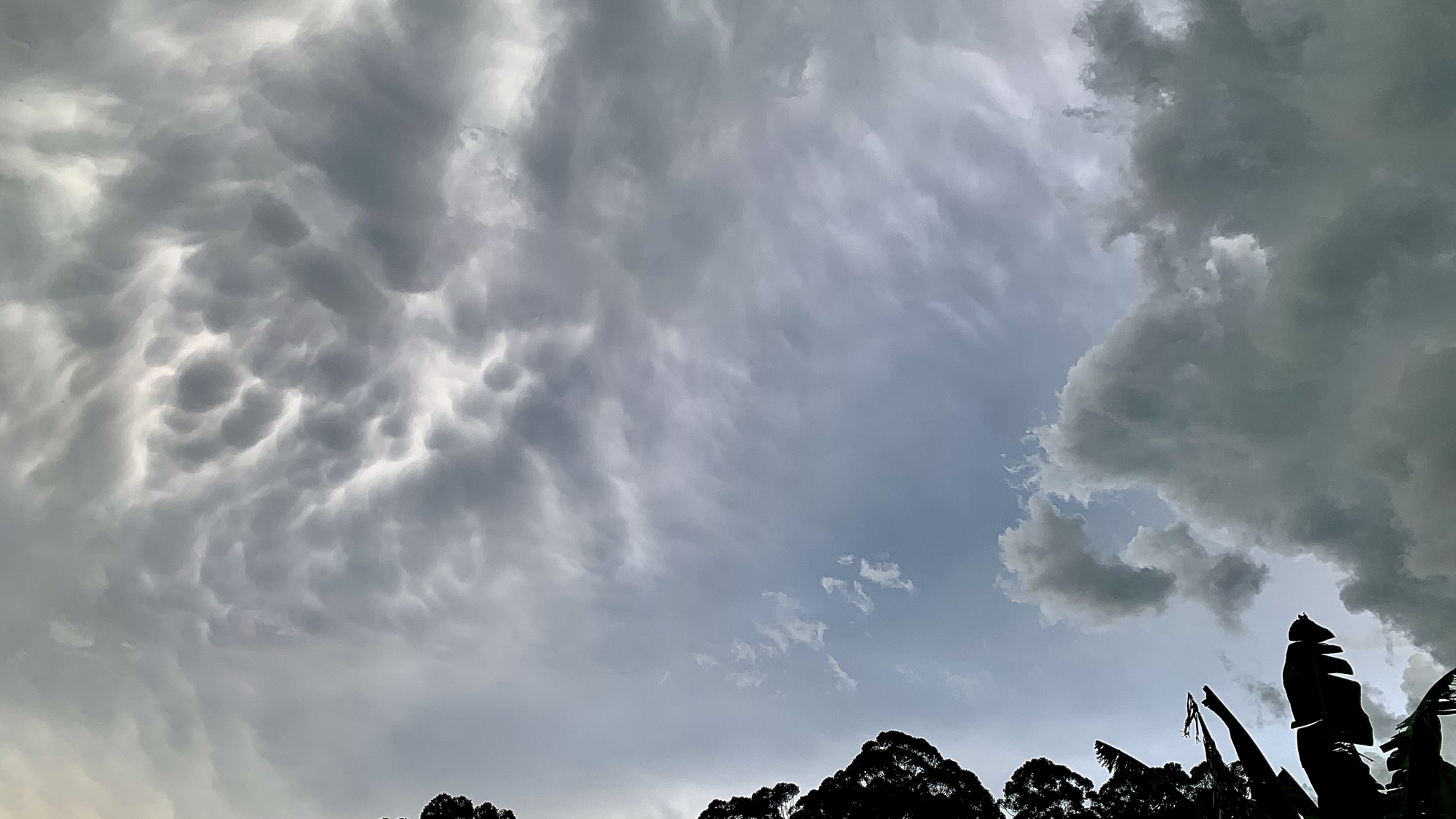
Some more clouds #storm #clouds #skyscape #sky #mammatus this was an insane build up . #humid #summer #australia dec 23

Happy #Sunday afternoon from the #Northland!
The unsettled #weather we have seen this #weekend continues with scattered #showers across the region.
It remain seasonally #mild and somewhat #humid with light #winds.


Happy #Tuesday afternoon from the #Northland!
The #summer-like #weather in September continues with #temperatures warming to the 80s and #humid dew point levels.
Most of us will remain #dry and #sunny, but isolated #showers and #thunderstorms are possible through the evening.
NORTHLAND FORECAST FOR SEPTEMBER 16, 2025:
Other than an early isolated #shower and #thunderstorm and bits of patchy #fog, the #Northland will have a #warm Monday night with low #temperatures in the upper 50s and 60s.
Tuesday will see plenty of #sunshine with a southerly #breeze keeping it #humid. Highs will be back in the 80s for many of us, with 70s along the North Shore.
VIDEO: https://www.fox21online.com/2025/09/15/monday-evening-northland-forecast-9-15-2025/
Happy #Monday afternoon from the #Northland!
The #summer-like #weather conditions continue with plenty of #warm #temperatures and #humid #dewpoints.
We are watching for widely scattered #showers and #thunderstorms to pass through this afternoon and evening. A few could have strong #winds and small #hail.
NORTHLAND FORECAST FOR SEPTEMBER 15, 2025:
Dense #fog will be likely near #LakeSuperior Sunday night. It will remain partly #cloudy for the rest of the #Northland with low #temperatures in the upper 50s and low 60s.
A #warm front passing through Monday will bring isolated #showers and #thunderstorms with #breezy southeast #winds. It remains warm and #humid with most highs in the 70s and low 80s.
VIDEO: https://www.fox21online.com/2025/09/14/sunday-evening-northland-forecast-9-14-2025/
Happy #Tuesday afternoon from the #Northland!
It has been a #wet past 24 hours, and more scattered #showers and a few #thunderstorms will continue to pass through the southern half of the region this afternoon.

Staring at tile
A cloud formed in the bathroom
Now the water cools
#DailyHaikuPrompt - 8/22/25 - #humid #senryu #poetry

oh happy hair curls
round with banana shaped coils
a humid bonus
#DailyHaikuPrompt - 8/22/25 - #humid


If you’re not scared yet
Look up wet bulb temperature
Then please, Just Stop Oil
NORTHLAND FORECAST FOR AUGUST 21, 2025:
A high-pressure system will keep skies mostly #clear of #clouds over the #Northland Wednesday night, with patchy #fog forming in spots. Low #temperatures will be in the upper 50s and low 60s.
Thursday will see increasing #clouds with #showers and #thunderstorms arriving by the evening. It remains #humid with highs in the 70s and low 80s.
VIDEO: https://www.fox21online.com/2025/08/20/wednesday-evening-northland-forecast-8-20-2025/
NORTHLAND FORECAST FOR AUGUST 20, 2025:
A high-pressure system moving into the #Northland Tuesday night will lead to widespread #fog thanks to #calm #winds, #humid #dewpoints, and low #temperatures in the upper 50s and low 60s.
Wednesday will see plenty of #sunshine with highs in the 70s and low 80s. A light wind coming off #LakeSuperior will help to drop the #humidity a bit.
VIDEO: https://www.fox21online.com/2025/08/19/tuesday-evening-northland-forecast-8-19-2025/
Happy #Tuesday afternoon from the #Northland!
#Clouds are starting to #clear out of the region, but some isolated #sprinkles are possible the rest of the day.
DENSE FOG TONIGHT:
The recent #rainfall and #humid dew points has been causing #fog to form in the #Northland this evening.
It will be #dense at times, so be prepared for low #visibility as you head out the door Tuesday morning.
Client Info
Server: https://mastodon.social
Version: 2025.07
Repository: https://github.com/cyevgeniy/lmst