#TUM:
"
Satellitendaten zeigen einen schnelleren Anstieg des Meeresspiegels um 40 Prozent zwischen 2010 und 2012.
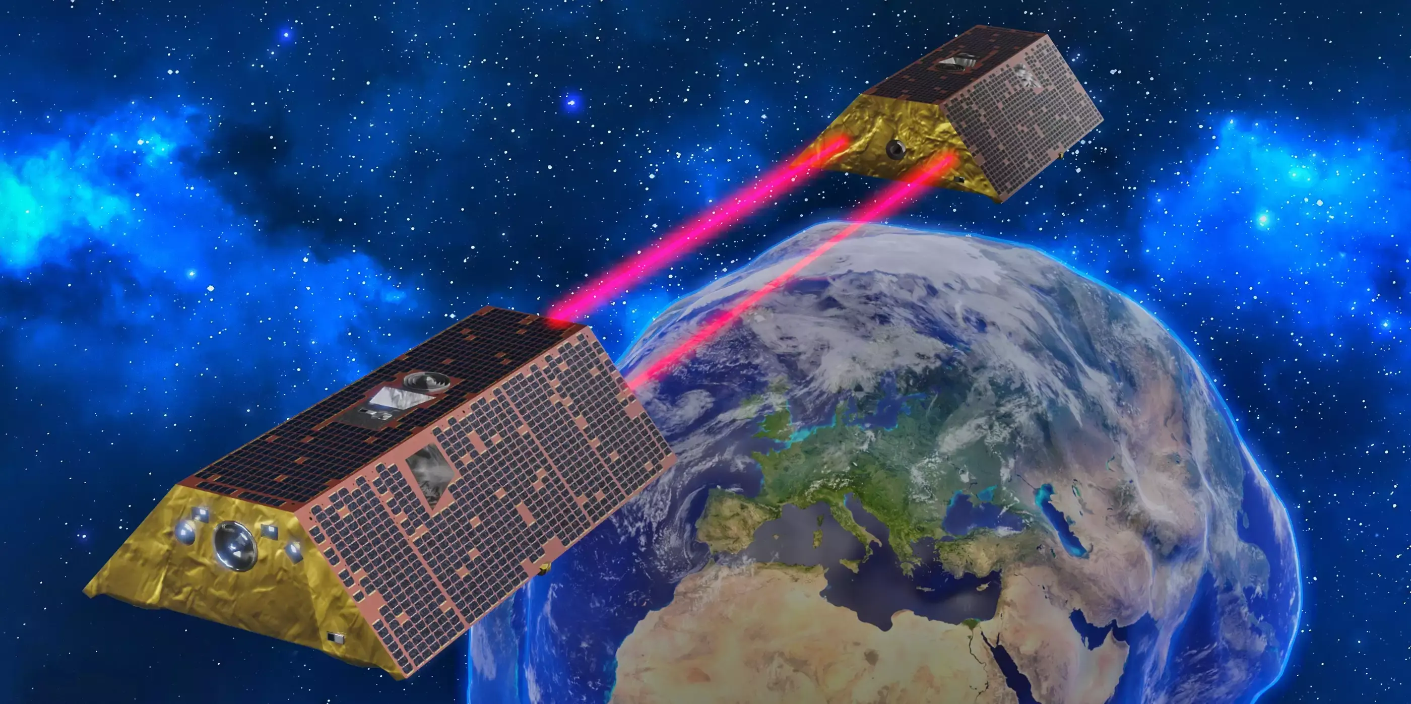
.. wichtigen Beitrag zu einer Studie ..geleistet, die den Wasserschwund an Land, die Erwärmung der Ozeane und den Anstieg des Meeresspiegels untersucht hat.
"
https://www.ed.tum.de/ed/news-single-view-start/article/meeresspiegel-steigt-abrupt-an/
5.2.2026
#Argo #BEAST #BreakPoint #DiscoTimes #EO #Erdbeobachtung #Erdsystemforschung #ESA #GMSL #GRACE #GRACEFO #Klimawandel #Meeresspiegelanstieg #NAO #PDO #Raumfahrt #Satelliten #SLCCI #Software